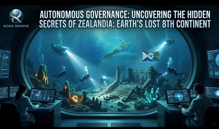
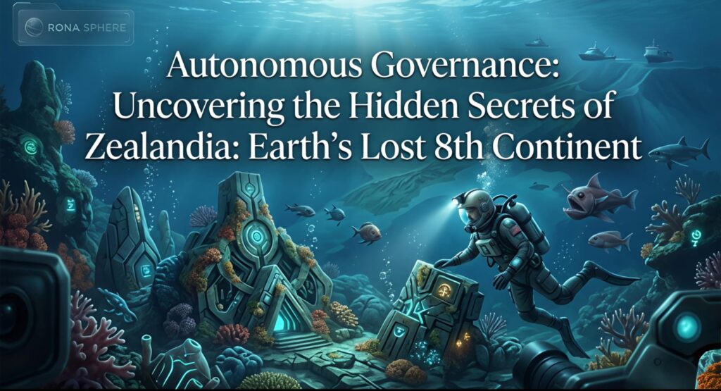
Look closely at a standard world map. Naturally, you see seven big continents. However, experts missed a huge piece of the world for a long time. Today, scientists are finally mapping The Lost Continent of Zealandia. Uncovering Earth’s hidden landmass changes how we see our planet.
This is not a myth like Atlantis. Instead, this is a real piece of the Earth’s crust. Consequently, scientists named it the eighth continent in 2017. Throughout this guide, we will explore its history. Ultimately, you will see why The Lost Continent of Zealandia matters today.
What Is the Eighth Continent?
For many years, sailors crossed the Pacific Ocean. Meanwhile, they did not know a continent sat right under their boats. Geologically, a continent must have high land and thick rock. Surprisingly, Zealandia fits this description perfectly.
Therefore, uncovering Earth’s hidden landmass became a top goal for experts. Currently, 94% of this land stays deep under the ocean. Yet, its highest points poke out of the water. As a result, we call these peaks New Zealand and New Caledonia.
Why We Call It a Continent
To understand this, we must look at the facts. First, The Lost Continent of Zealandia is very large. Interestingly, it is about half the size of Australia. In addition, its rocks are much thicker than the normal ocean floor.
Total Size: 4.9 million square kilometers.
Underwater: 94% of the land is submerged.
Tallest Point: Mount Cook in New Zealand.
Moreover, the land has special types of rock. For instance, researchers find granite and limestone there. Conversely, the normal sea floor is made of dark basalt. Thus, uncovering Earth’s hidden landmass proved this area is a real continent.
The History of the Hidden Landmass
The story of this sunken giant started millions of years ago. At that time, all continents were stuck together in one group called Gondwana. Slowly, the Earth began to pull this group apart.
Breaking Away from Gondwana
About 85 million years ago, a big change happened. Initially, the land we call Zealandia pulled away from Australia. Subsequently, the Earth’s crust stretched very thin. Imagine pulling a piece of gum until it almost breaks.
Similarly, the land became thin and heavy. As a result, it sank deep into the sea. Finally, the Pacific Ocean covered the land completely. Therefore, uncovering Earth’s hidden landmass helps us see this ancient breakup.
A Journey to the Bottom
Let’s look at the timeline of this event:
100 Million Years Ago: Zealandia is part of the big landmass Gondwana.
85 Million Years Ago: The land starts to pull away.
60 Million Years Ago: The continent stretches very thin.
23 Million Years Ago: Most of the land sinks under the waves.
Today: New Zealand sits on the part that stayed high.
Consequently, The Lost Continent of Zealandia became a time capsule. Today, uncovering Earth’s hidden landmass gives us a look at the past.
How Scientists Mapped the Land
Mapping a world under the sea is hard work. Unsurprisingly, it takes very smart tools. First, experts used satellites to check gravity. Essentially, big mountains under the sea have more gravity than deep holes. Therefore, satellites can “see” the land from space.
Using Sound to Find Rocks
In addition, ships used sonar to scan the bottom. This tool bounces sound waves off the sea floor. Consequently, the echoes draw a 3D map of the ground.
Satellite Maps: These show the big shape of the continent.
Sonar Scans: These show the mountains and valleys.
Rock Samples: Scientists drill into the mud to find old rocks.
Furthermore, these samples showed something amazing. They found old plant bits and wood. Thus, uncovering Earth’s hidden landmass revealed that green forests once grew there.
Nature on the Sunken Continent
When a continent sinks, animals must adapt. Fortunately, the peaks of The Lost Continent of Zealandia became safe spots. Uncovering Earth’s hidden landmass helps us see how rare animals grew up alone.
Rare Animals and Birds
Because the land was far away, animals changed in odd ways. For instance, New Zealand has no native land mammals. Consequently, birds became the main animals on land.
The Kiwi: A small bird that cannot fly.
The Tuatara: A reptile that lived with dinosaurs.
The Kea: A very smart parrot that lives in the cold mountains.
Similarly, New Caledonia has very rare plants. Many of these plants do not grow anywhere else. Surprisingly, some are related to the very first flowers on Earth. Thus, uncovering Earth’s hidden landmass also saves ancient life.
Why This Discovery Matters Now
You might ask why a sunken land matters to us. Surprisingly, The Lost Continent of Zealandia helps us today. Furthermore, uncovering Earth’s hidden landmass helps us learn about the weather.
Clues About Global Warming
First, Zealandia acts like a big history book. Long ago, warm seas covered the sinking land. Consequently, tiny sea bugs died and sank into the mud. Over time, this mud trapped carbon from the air.
Today, scientists study this old mud. Incredibly, it tells us how the Earth got hot in the past. Thus, uncovering Earth’s hidden landmass gives us a map for the future. Ultimately, it helps us plan for a warmer world.
Finding Valuable Minerals
Moreover, the sunken land has many riches. Currently, experts are finding mineral fields on the sea floor. For example, these rocks have metals used in phones and green energy.
However, digging under the sea is a big risk. Consequently, leaders must be careful. They want the minerals, but they must protect the fish. Therefore, uncovering Earth’s hidden landmass starts big debates about nature.
How to Visit the Hidden Land
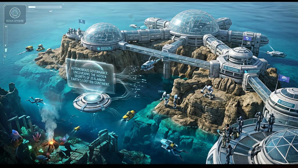
You cannot walk on the sea floor easily. However, you can still visit this continent. In fact, many people go to The Lost Continent of Zealandia for vacation. Uncovering Earth’s hidden landmass is easy if you know where to go.
Visiting New Zealand
New Zealand is the top part of the eighth continent. Here, the Earth’s plates push the land up. Consequently, you can see the rocks for yourself.
Mount Cook: This is the highest point of the continent.
Fiordland: Here, you can see deep valleys carved by ice.
Fossil Beach: Look for old shells in the rocks.
Therefore, when you walk in New Zealand, you are on The Lost Continent of Zealandia. Uncovering Earth’s hidden landmass becomes a real adventure.
The Beauty of New Caledonia
You can also visit New Caledonia. It sits on the north part of the landmass. Here, you can see bright blue water and red soil. Interestingly, the red soil comes from the special rocks of the continent. Ultimately, it is a great place to see how the hidden land looks today.
Deep Geological Secrets of Zealandia
Furthermore, we must look at the crust. Normal ocean crust is usually about 7 kilometers thick. In contrast, the crust of The Lost Continent of Zealandia is between 10 and 30 kilometers thick. Consequently, this thickness proves it is not just part of the ocean floor.
The Composition of the Landmass
Initially, scientists thought the area was just a chain of islands. However, closer study showed a different story. Specifically, the rocks under the water are the same as those on other continents. For instance, granite is very common there.
Normally, granite only forms on continents. Therefore, finding it underwater was a huge clue. Consequently, uncovering Earth’s hidden landmass became a priority for geologists. They wanted to know why this granite was so far from other land.
The Stretch and Sink Theory
Actually, the sinking happened because the land was being pulled. As Zealandia moved away from Antarctica, the Earth’s crust stretched out. Imagine pulling a piece of dough. Naturally, the middle gets very thin.
Eventually, the dough becomes so thin that it cannot stay high. Similarly, Zealandia became too thin to float high on the mantle. Consequently, it sank below the ocean waves. Therefore, uncovering Earth’s hidden landmass tells a story of extreme physical change.
The Role of Modern Satellites
Notably, we use satellites to see the ocean floor. These satellites do not look through the water. Instead, they measure the surface of the sea. Surprisingly, the ocean surface is not flat.
Gravity and the Sea Surface
Actually, heavy things on the sea floor pull the water toward them. Consequently, the water bumps up over an underwater mountain. Therefore, satellites can map the sea floor by looking at the water’s shape. Specifically, this is called gravity mapping.
Moreover, this technology revealed the true edges of The Lost Continent of Zealandia. It showed that the continent is one solid piece of rock. Thus, uncovering Earth’s hidden landmass was a victory for space technology.
Bathymetry and Ship Surveys
In addition, ships play a big role. They use multibeam sonar to create clear pictures. Specifically, they send sound waves down and wait for them to bounce back. Consequently, they can see shipwrecks, canyons, and mountains.
Briefly, these surveys help us find safe places for cables. Many internet cables cross the eighth continent today. Therefore, uncovering Earth’s hidden landmass helps us stay connected to the internet.
The Biological Lifeboat
Interestingly, the isolation of this landmass created a “biological lifeboat.” Because it was surrounded by water for 80 million years, evolution took a different path. Specifically, many ancient species survived here that died out elsewhere.
The Tuatara: A Living Fossil
For example, the Tuatara is a very special reptile. It is not a lizard. Instead, it is the last member of an ancient group from the time of dinosaurs. Consequently, it has a “third eye” on top of its head.
Normally, this eye helps it sense light. Therefore, the Tuatara is a living piece of history. Specifically, uncovering Earth’s hidden landmass helps us protect these rare creatures.
Unique Flightless Birds
Furthermore, New Zealand’s birds are world-famous. Because there were no cats or dogs, birds did not need to fly. Consequently, they grew very big and stayed on the ground.
The Kakapo: A large, green parrot that cannot fly.
The Moa: A bird that was three meters tall before it went extinct.
The Takahe: A blue bird that scientists thought was gone forever.
Surprisingly, explorers found the Takahe hiding in the mountains. Thus, uncovering Earth’s hidden landmass revealed many lost treasures.
The Economics of a Sunken World
Notably, money and politics are involved. Because Zealandia is a continent, the countries on it can claim more ocean. Specifically, the United Nations has rules about this.
The 200-Mile Rule
Normally, a country owns the water 200 miles from its coast. However, if they can prove a continent exists further out, they get more space. Consequently, New Zealand was able to claim a huge area of the sea.
Specifically, this area is rich in fish and oil. Therefore, uncovering Earth’s hidden landmass was a major economic boost. Currently, scientists are still mapping the exact borders.
Mining for the Future
Moreover, the sea floor contains “nodules.” These are small rocks that grow over millions of years. Interestingly, they are full of metals like cobalt and manganese.
Consequently, companies want to mine these rocks. However, this could hurt the deep-sea fish. Therefore, uncovering Earth’s hidden landmass forces us to make hard choices. Specifically, do we want metal for batteries or a clean ocean?
Protecting the Eighth Continent
Clearly, we must take care of this hidden world. Because most of it is deep underwater, we cannot see the damage we do. Consequently, international groups are working to create “marine protected areas.”
The Kermadec Trench
For instance, the Kermadec Trench is one of the deepest places on Earth. It sits on the edge of the eighth continent. Specifically, it is home to strange fish that glow in the dark.
Therefore, protecting this trench is very important. In addition, uncovering Earth’s hidden landmass shows us where these habitats are. Specifically, we can now map the most fragile parts of the sea floor.
Sustainable Fishing Practices
In addition, fishing must be managed. Many deep-sea fish grow very slowly. For example, the Orange Roughy can live for 150 years. Consequently, if we catch too many, they will not come back.
Therefore, uncovering Earth’s hidden landmass helps us find where these fish live and breed. Specifically, we can use science to keep the ocean healthy.
How to Be a Citizen Scientist
You might wonder how you can help. Actually, you do not need to be a geologist to join in. Specifically, you can help by learning and sharing the story of the eighth continent.
Use Online Maps
First, you can explore the ocean floor using tools like Google Earth. Specifically, look for the shallow areas around New Zealand. Consequently, you will see the shape of the continent for yourself.
Moreover, you can follow research ships online. Many ships post their discoveries in real-time. Therefore, uncovering Earth’s hidden landmass is something you can watch from home.
Support Conservation Groups
In addition, you can support groups that protect New Zealand’s birds. Many of these birds are still in danger from rats and cats. Consequently, donating to these groups helps save the life of the eighth continent.
Briefly, every little bit helps. Ultimately, we are all responsible for this hidden world.
The Future of Deep-Sea Exploration
Finally, what comes next? Currently, we have better maps of the Moon than our own ocean. Consequently, the next ten years will be very exciting.
The 2030 Goal
Specifically, a group called “Seabed 2030” wants to map the whole ocean floor. Therefore, they are asking ships all over the world to share their data. Consequently, uncovering Earth’s hidden landmass will soon be complete.
Moreover, new robots are being built. These robots can stay underwater for months. Specifically, they can swim through deep canyons and find new species. Therefore, the mysteries of Zealandia will not stay hidden for long.
Lessons for Other Planets
Interestingly, learning about Zealandia helps us look for life on other planets. Specifically, we learn how life survives in cold, dark places. Consequently, uncovering Earth’s hidden landmass is practice for exploring the moons of Jupiter.
Ultimately, our planet still has many secrets. Therefore, we should never stop asking questions.
FAQs About the Hidden Landmass
1. Is Zealandia the same as Atlantis? No. Atlantis is a myth. In contrast, Zealandia is a real geological feature. Specifically, it is made of continental crust.
2. Why did it take so long to find? Mainly because it is underwater. Consequently, we needed satellites and sonar to see its true size.
3. Do people live on Zealandia? Yes. About 5 million people live on the parts that are above water. Specifically, these people live in New Zealand and New Caledonia.
4. Is it still sinking? Actually, parts of it are rising. Because tectonic plates are crashing together, the mountains in New Zealand are getting taller.
5. How old is the rock? Some of the rocks are over 1 billion years old. Consequently, they hold the history of our planet from a very long time ago.
Summary of the Eighth Continent
To conclude, The Lost Continent of Zealandia is a wonder of our world. Uncovering Earth’s hidden landmass has taught us so much. Specifically, we know more about how continents move and how life evolves.
The Size: It is a massive landmass the size of half of Australia.
The Location: Most of it sits under the Pacific Ocean.
The Science: It has thick crust and continental rocks like granite.
The Importance: it helps us understand climate change and minerals.
Ultimately, the eighth continent is a reminder to keep exploring. Even when we think we know everything, the Earth has a way of surprising us. Therefore, uncovering Earth’s hidden landmass is one of the greatest scientific stories of our time.